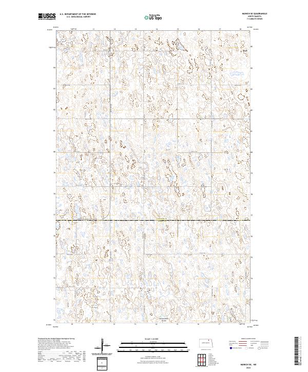
2024 Map of Munich SE
USGS Topo · Published 2024About this map
Alsen anchors the northeastern corner of this prairie landscape, where the agricultural grid meets an extensive network of protected wetlands. The territory is defined by the Cavalier Co Ramsey Co line, which divides the townships and marks a transition in land management. Large tracts are dedicated to conservation, notably the Cavalier County Waterfowl Production Area and the Ramsey County Waterfowl Production Area, highlighting the region's importance for migratory birds and local ecology.
Find a feature on this map
26 named features on this map. Tap any name to fly to it.
Don’t see what you’re looking for? This feature index may not catch every label — zoom into the map to look around manually.
Map Details
Editions of this 2024 Munich SE Map
This is the sole edition of this map. No revisions or reprints were ever made.
Other maps of this area

1953 · Devils Lake
USGS Topo · 1:250,000

1956 · Devils Lake
USGS Topo · 1:250,000

1962 · Starkweather
USGS Topo · 1:24,000

1962 · Starkweather NE
USGS Topo · 1:24,000

1970 · Alsen
USGS Topo · 1:24,000

1970 · Hampden
USGS Topo · 1:24,000

1970 · Munich
USGS Topo · 1:24,000

1971 · Calio
USGS Topo · 1:24,000

1971 · Munich SW
USGS Topo · 1:24,000

1971 · Munich SE
USGS Topo · 1:24,000