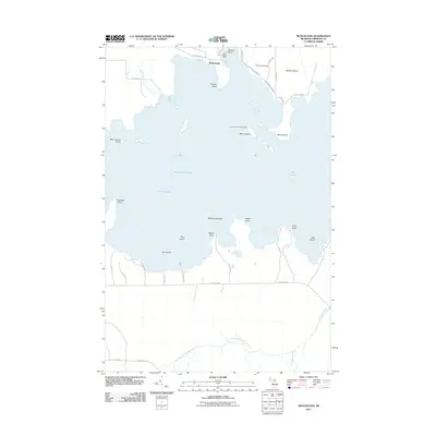
2011 Map of Munuscong
USGS Topo · Published 2011About this map
Munuscong Lake and the northern reaches of Lake Huron dominate this landscape on the eastern edge of the Upper Peninsula. Navigation is a central theme of the shoreline, evidenced by the Winter Point Range and the Moon Island Leading Light, which guide vessels through the complex channels around Neebish Island and Munuscong Island. The coastal geography is defined by a series of prominent landforms including Barbeau Point, Kemps Point, and Roach Point, while the southern interior is drained by the West Branch Gogomain River and the S Br Gogomain R. Local recreation and settlement are clustered at Munuscong and Jens Rustic Resort near Sawmill Point, where a network of rural roads like S Scenic Dr and Island Rd provide access to the water's edge.
Find a feature on this map
44 named features on this map. Tap any name to fly to it.
Don’t see what you’re looking for? This feature index may not catch every label — zoom into the map to look around manually.
Map Details
Editions of this 2011 Munuscong Map
This is the sole edition of this map. No revisions or reprints were ever made.
Other maps of this area

1913 · Sault Sainte Marie
USGS Topo · 1:62,500

1919 · Neebish
USGS Topo · 1:62,500

1931 · Pickford SE
USGS Topo · 1:31,680

1941 · Neebish
USGS Topo · 1:63,360

1941 · Sault Sainte Marie
USGS Topo · 1:63,360

1951 · Barbeau
USGS Topo · 1:24,000

1951 · Oak Ridge
USGS Topo · 1:24,000

1951 · Sault Ste. Marie
USGS Topo · 1:62,500

1951 · Lake George
USGS Topo · 1:62,500

1953 · Munuscong
USGS Topo · 1:24,000