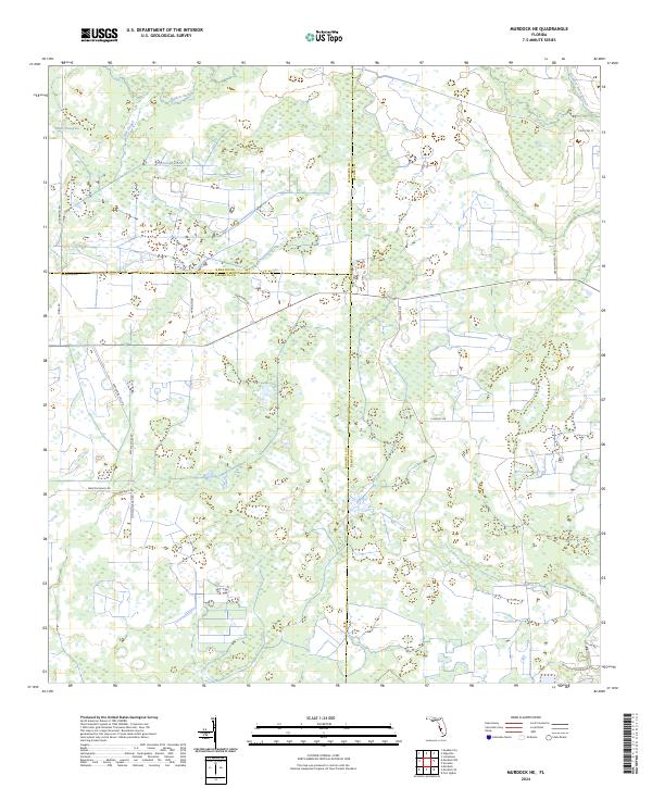
2024 Map of Murdock NE
USGS Topo · Published 2024About this map
Wildcat Slough and the expansive Messer Sawgrass characterize this low-lying region at the intersection of DeSoto, Manatee, and Sarasota Counties. The landscape is defined by its complex hydrology, where the Big Slough Canal and the natural winding course of Big Slough manage the movement of water across the terrain.
Find a feature on this map
27 named features on this map. Tap any name to fly to it.
Don’t see what you’re looking for? This feature index may not catch every label — zoom into the map to look around manually.
Map Details
Editions of this 2024 Murdock NE Map
This is the sole edition of this map. No revisions or reprints were ever made.
Other maps of this area

1956 · Murdock
USGS Topo · 1:24,000

1956 · Myakka City
USGS Topo · 1:24,000

1956 · Edgeville
USGS Topo · 1:24,000

1956 · Murdock SE
USGS Topo · 1:24,000

1956 · Murdock NE
USGS Topo · 1:24,000

1956 · Limestone
USGS Topo · 1:24,000

1956 · Ft. Ogden
USGS Topo · 1:24,000

1956 · Nocatee
USGS Topo · 1:24,000

1956 · Murdock NW
USGS Topo · 1:24,000

1956 · Tampa
USGS Topo · 1:250,000