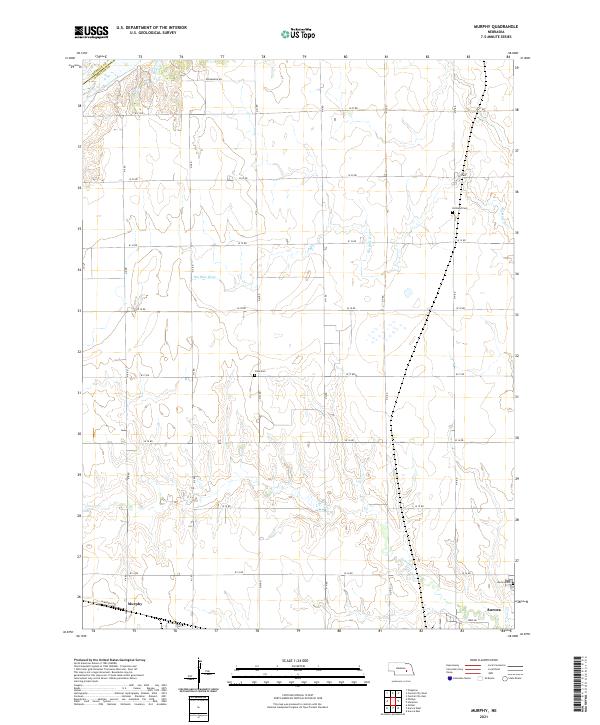
2021 Map of Murphy
USGS Topo · Published 2021About this map
The Big Blue River winds through the agricultural landscape of Hamilton County, shaping the settlement patterns around the village of Murphy and the western edge of Aurora. This 2021 survey documents a highly organized section-line road network, including the eponymous W Murphy Rd and the northern Rodabaugh Rd, which serve the expansive farmsteads of the Nebraska plains. Local history and genealogy are anchored by several rural burial grounds, such as Richland Cem near the river and Siloa Cem positioned centrally between the main townships. While the southern terrain is drained by Lincoln Cr, the north is defined by the larger river valley, reflecting the transition from upland prairie to fertile bottomlands. These watercourses and cemetery locations provide essential touchpoints for tracing family histories in the townships of t12n r7w and t12n r6w.
Find a feature on this map
23 named features on this map. Tap any name to fly to it.
Don’t see what you’re looking for? This feature index may not catch every label — zoom into the map to look around manually.
Map Details
Editions of this 2021 Murphy Map
This is the sole edition of this map. No revisions or reprints were ever made.
Other maps of this area

1896 · Stromsburg
USGS Topo · 1:125,000

1898 · York
USGS Topo · 1:125,000

1898 · Grand Island
USGS Topo · 1:125,000

1899 · St. Paul
USGS Topo · 1:125,000

1899 · York
USGS Topo · 1:125,000

1955 · Broken Bow
USGS Topo · 1:250,000

1955 · Fremont
USGS Topo · 1:250,000

1955 · Lincoln
USGS Topo · 1:250,000

1955 · Grand Island
USGS Topo · 1:250,000

1956 · Broken Bow
USGS Topo · 1:250,000