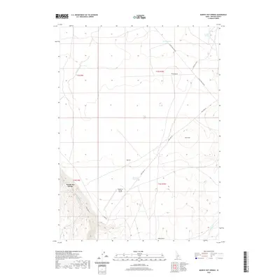
2020 Map of Murphy Hot Springs
USGS Topo · Published 2020About this map
Murphy Hot Springs sits at the base of steep canyon walls where the E Fork Jarbidge River carves through the high desert of Owyhee County. This remote outpost is connected to the wider region by Three Creek Rd, which traverses the expansive Big Flat and edges the Inside Desert to the south. The landscape is defined by its water management and volcanic topography, featuring the Poison Cr Reservoir and the CCC Rock Pond, likely reflecting mid-century conservation efforts in this arid environment. Significant landmarks like Pence Butte and Horse Hill provide vertical relief against the plateau, while the Murphy Hot Springs Airport underscores the isolation of this settlement. Local history is etched into the terrain through named water sources such as Crawfish Spring and Poison Creek.
Find a feature on this map
20 named features on this map. Tap any name to fly to it.
Don’t see what you’re looking for? This feature index may not catch every label — zoom into the map to look around manually.
Map Details
Editions of this 2020 Murphy Hot Springs Map
This is the sole edition of this map. No revisions or reprints were ever made.
Other maps of this area

1943 · Jarbidge
USGS Topo · 1:62,500

1945 · Jarbidge
USGS Topo · 1:62,500

1955 · Twin Falls
USGS Topo · 1:250,000

1955 · Wells
USGS Topo · 1:250,000

1957 · Elk Mountain
USGS Topo · 1:62,500

1958 · Wells
USGS Topo · 1:250,000

1958 · Twin Falls
USGS Topo · 1:250,000

1961 · Wells
USGS Topo · 1:250,000
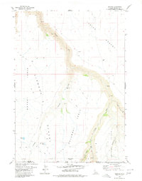
1979 · Dishpan
USGS Topo · 1:24,000

1979 · Salls Crossing
USGS Topo · 1:24,000