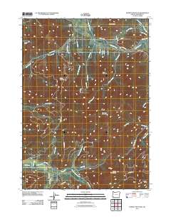
2011 Map of Murphy Mountain
USGS Topo · Published 2011About this map
The Applegate River winds through the northern portion of this Josephine County landscape, serving as a primary corridor for early settlement roads such as Southside Rd and Wetherbee Rd. The terrain is defined by a series of prominent peaks, including the central Eagle Mountain and Roundtop Mountain, which overlook a complex network of drainages like Jackson Creek and Bull Creek. To the west, Marble Mountain and Cheney Creek mark a rugged geography where timber and transit intersect. The southern reaches are characterized by the Deer Creek basin and the distinctive Murphy Mountain, providing a detailed look at the rural infrastructure of southern Oregon. Numerous Bureau of Land Management routes, such as BLM 38-6-18 Rd, demonstrate the historical importance of forest management and access in this region of the Klamath Mountains.
Find a feature on this map
47 named features on this map. Tap any name to fly to it.
Don’t see what you’re looking for? This feature index may not catch every label — zoom into the map to look around manually.
Map Details
Editions of this 2011 Murphy Mountain Map
This is the sole edition of this map. No revisions or reprints were ever made.
Other maps of this area

1908 · Grants Pass
USGS Topo · 1:125,000

1917 · Kerby
USGS Topo · 1:125,000

1918 · Kerby
USGS Topo · 1:125,000

1945 · Kerby
USGS Topo · 1:125,000

1954 · Cave Junction
USGS Topo · 1:62,500

1954 · Oregon Caves
USGS Topo · 1:62,500

1954 · Selma
USGS Topo · 1:62,500

1954 · Grants Pass
USGS Topo · 1:62,500

1955 · Medford
USGS Topo · 1:250,000

1957 · Medford
USGS Topo · 1:250,000