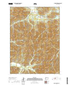
2020 Map of Murphy Mountain
USGS Topo · Published 2020About this map
Murphy Mtn and the surrounding peaks of Josephine County dominate this landscape, where the Applegate River cuts through the northern reach of the quadrangle. The map captures a detailed network of drainages and canyons, including Rail Canyon, Knights Gulch, and Grantham Gulch, illustrating the complex water systems that have shaped the local topography. This 2020 survey highlights the intersection of modern accessibility and wilderness, with routes like Dryden Overlook Rd and Fish Hatchery Rd providing access to high-elevation landmarks such as Roundtop Mtn and Eagle Mtn. The transition between the high ridges of Marble Mtn and the creek-fed valleys of Cheney Cr and Murphy Cr reveals the rugged character of the Southern Oregon interior. For those studying the geography of the region, the map provides precise locations for remote summits like Mungers Butte and Bolt Mtn.
Find a feature on this map
60 named features on this map. Tap any name to fly to it.
Don’t see what you’re looking for? This feature index may not catch every label — zoom into the map to look around manually.
Map Details
Editions of this 2020 Murphy Mountain Map
This is the sole edition of this map. No revisions or reprints were ever made.
Other maps of this area

1908 · Grants Pass
USGS Topo · 1:125,000

1917 · Kerby
USGS Topo · 1:125,000

1918 · Kerby
USGS Topo · 1:125,000

1945 · Kerby
USGS Topo · 1:125,000

1954 · Cave Junction
USGS Topo · 1:62,500

1954 · Oregon Caves
USGS Topo · 1:62,500

1954 · Selma
USGS Topo · 1:62,500

1954 · Grants Pass
USGS Topo · 1:62,500

1955 · Medford
USGS Topo · 1:250,000

1957 · Medford
USGS Topo · 1:250,000