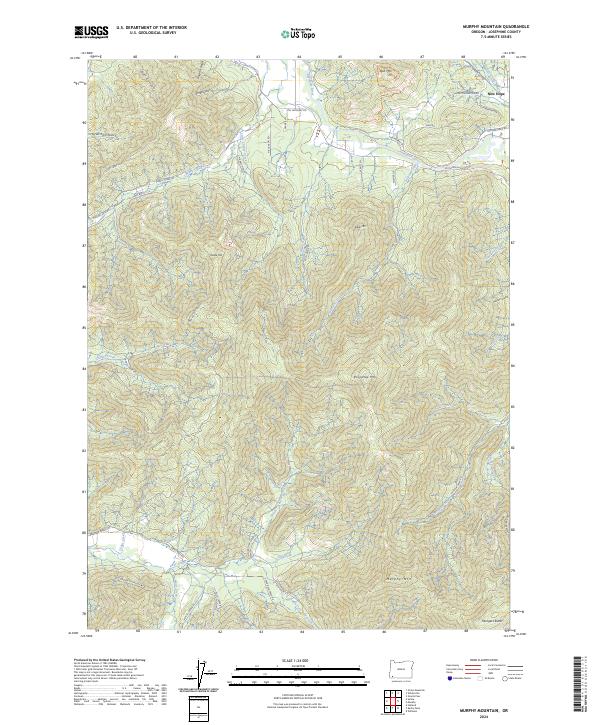
2024 Map of Murphy Mountain
USGS Topo · Published 2024About this map
The Applegate River defines the northern reaches of this Josephine County landscape, winding past the community of New Hope and the nearby Bolt Mtn. The terrain is characterized by a series of prominent peaks and deep gulches, with Murphy Mtn and Mungers Butte anchoring the southern portion of the survey. The drainage network is complex, featuring Cheney Creek, Murphy Creek, and the North Fork Deer Creek, which flow through heavily timbered and steep country.
Find a feature on this map
60 named features on this map. Tap any name to fly to it.
Don’t see what you’re looking for? This feature index may not catch every label — zoom into the map to look around manually.
Map Details
Editions of this 2024 Murphy Mountain Map
This is the sole edition of this map. No revisions or reprints were ever made.
Other maps of this area

1908 · Grants Pass
USGS Topo · 1:125,000

1917 · Kerby
USGS Topo · 1:125,000

1918 · Kerby
USGS Topo · 1:125,000

1945 · Kerby
USGS Topo · 1:125,000

1954 · Cave Junction
USGS Topo · 1:62,500

1954 · Oregon Caves
USGS Topo · 1:62,500

1954 · Selma
USGS Topo · 1:62,500

1954 · Grants Pass
USGS Topo · 1:62,500

1955 · Medford
USGS Topo · 1:250,000

1957 · Medford
USGS Topo · 1:250,000