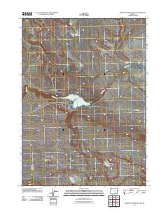
2011 Map of Murphy Waterholes NE
USGS Topo · Published 2011About this map
Rock Creek Reservoir serves as a central hydrological point in this corner of Harney County, drawing from the seasonal flows of Rock Creek. This 2011 survey documents a land of sparse water resources and minimal infrastructure, where named features reflect the vital importance of irrigation and livestock watering. The presence of Oreana Waterhole in the northern portion of the quadrangle suggests the essential nature of these scattered catchments for land use in this high desert environment. Access through this terrain is primarily defined by Rock Creek Rd, which skirts the reservoir and connects the drainage of Buckhorn Canyon to the wider region. The map provides a precise look at the drainage patterns and elevation contours that define how water moves across this arid landscape.
Find a feature on this map
5 named features on this map. Tap any name to fly to it.
Don’t see what you’re looking for? This feature index may not catch every label — zoom into the map to look around manually.
Map Details
Editions of this 2011 Murphy Waterholes NE Map
This is the sole edition of this map. No revisions or reprints were ever made.
Other maps of this area

1955 · Adel
USGS Topo · 1:250,000

1957 · Adel
USGS Topo · 1:250,000

1958 · Adel
USGS Topo · 1:250,000

1962 · Adel
USGS Topo · 1:250,000

1971 · Duhaime Flat East
USGS Topo · 1:24,000

1971 · Murphy Waterholes
USGS Topo · 1:24,000

1971 · Orejana Canyon
USGS Topo · 1:24,000
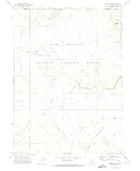
1971 · Sixmile Draw
USGS Topo · 1:24,000
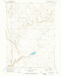
1971 · Guano Reservoir
USGS Topo · 1:24,000
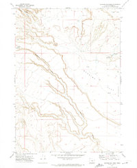
1971 · Duhaime Flat West
USGS Topo · 1:24,000