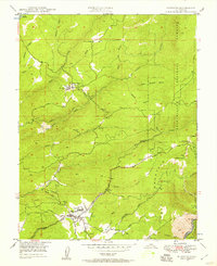
1948 Map of Murphys
USGS Topo · Published 1957About this map
Murphys and Sheep Ranch anchor this late 1940s landscape, revealing the infrastructure of a historic California mining and timber district. The map records a complex network of water management essential for both power and mining operations, featuring the Utica Ditch feeding into the Utica Powerhouse. Gold-era remnants are scattered throughout the hills, including the prominent Sheep Ranch Mine, Marjon Mine, and Oro Plata Mine, while the Bret Harte Sanatorium occupies a significant site north of Murphys.
Find a feature on this map
42 named features on this map. Tap any name to fly to it.
Don’t see what you’re looking for? This feature index may not catch every label — zoom into the map to look around manually.
Map Details
Editions of this 1948 Murphys Map
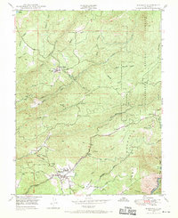
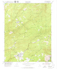
Other maps of this area

1889 · Jackson
USGS Topo · 1:125,000

1891 · Big Trees
USGS Topo · 1:125,000

1892 · Jackson
USGS Topo · 1:125,000

1894 · Big Trees
USGS Topo · 1:125,000

1897 · Jackson
USGS Topo · 1:125,000

1897 · Big Trees
USGS Topo · 1:125,000

1901 · Big Trees
USGS Topo · 1:125,000

1902 · Jackson
USGS Topo · 1:125,000

1945 · San Andreas
USGS Topo · 1:62,500

1947 · San Andreas
USGS Topo · 1:62,500