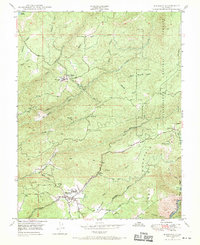
1948 Map of Murphys
USGS Topo · Published 1970About this map
Gold mining operations and healthcare institutions define this Sierra Nevada foothills landscape shortly after World War II. The settlement of Murphys serves as a local hub, featuring the Bret Harte Sanatorium and the nearby natural wonder of Mercer Cave. The industrial legacy of the Mother Lode is evident in the cluster of workings such as the Sheep Ranch Mine near Sheep Ranch, along with the Right Bower Mine, Marjon Mine, and Oro Plata Mine. These operations were supported by an intricate water system including the Utica Ditch and the Utica Powerhouse on Angels Creek.
Find a feature on this map
42 named features on this map. Tap any name to fly to it.
Don’t see what you’re looking for? This feature index may not catch every label — zoom into the map to look around manually.
Map Details
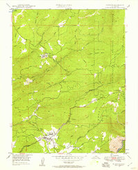
Editions of this 1948 Murphys Map

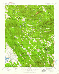
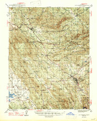
Other maps of this area

1889 · Jackson
USGS Topo · 1:125,000

1891 · Big Trees
USGS Topo · 1:125,000

1892 · Jackson
USGS Topo · 1:125,000

1894 · Big Trees
USGS Topo · 1:125,000

1897 · Jackson
USGS Topo · 1:125,000

1897 · Big Trees
USGS Topo · 1:125,000

1901 · Big Trees
USGS Topo · 1:125,000

1902 · Jackson
USGS Topo · 1:125,000
1945 · San Andreas
USGS Topo · 1:62,500
1947 · San Andreas
USGS Topo · 1:62,500