2022 Map of Murray
USGS Topo · Published 2022About this map
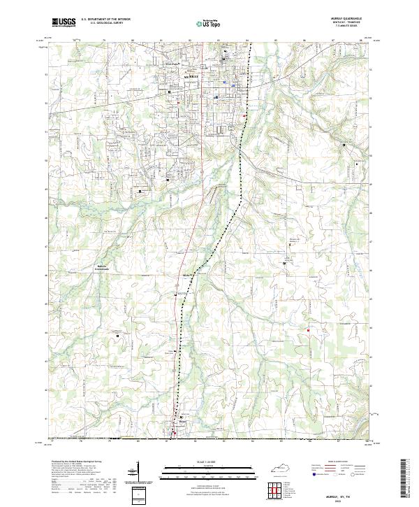
Murray and its surroundings in Calloway Co appear here in a portrait of collegiate and rural development. The campus of Murray State University serves as a northern anchor, while the city center shows a dense grid featuring the Saint Johns Episcopal Church and the Farmer Ave Memorial Garden. The surrounding countryside is defined by the branching tributaries of the Clarks River, including the Middle Fork Clarks River and E Fork Clarks River. This landscape is heavily marked by local heritage sites, from the Murray City Cem African American to smaller family and community burial grounds like Smotherman Cem and England Cem. Further south, the settlement of Hazel sits directly on the Tennessee border, connected to the county seat by a network of rural routes passing through Midway and Bakers Crossroads. The presence of the Brandon Airdrome suggests the area's continued role as a regional transportation and service hub for southern Kentucky.
Find a feature on this map
145 named features on this map. Tap any name to fly to it.
Don’t see what you’re looking for? This feature index may not catch every label — zoom into the map to look around manually.
Map Details
Editions of this 2022 Murray Map
This is the sole edition of this map. No revisions or reprints were ever made.
Historical Maps of Kentucky Through Time
4 maps found