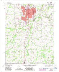
1969 Map of Murray
USGS Topo · Published 1987About this map
Murray State University dominates the northern landscape of this Calloway County quadrangle, showing the campus layout and nearby expansion in the late 1960s. The city of Murray is the primary hub, with its grid of streets including Main Street and Sycamore Street centered around the courthouse and hospital. The Seaboard System railroad tracks bisect the region, running south through the small settlement of Midway toward Hazel at the Tennessee state line.
Find a feature on this map
79 named features on this map. Tap any name to fly to it.
Don’t see what you’re looking for? This feature index may not catch every label — zoom into the map to look around manually.
Map Details
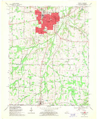
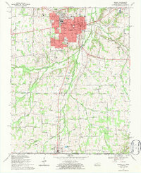
Editions of this 1969 Murray Map
3 editions found
Other maps of this area

1936 · Conyersville
USGS Topo · 1:24,000

1936 · Buchanan
USGS Topo · 1:24,000

1936 · Hazel
USGS Topo · 1:24,000

1936 · New Concord
USGS Topo · 1:24,000

1936 · Crossland
USGS Topo · 1:24,000

1936 · Lynn Grove
USGS Topo · 1:24,000

1936 · Dexter
USGS Topo · 1:24,000

1936 · Hico
USGS Topo · 1:24,000

1936 · Kirksey
USGS Topo · 1:24,000

1942 · New Concord
USGS Topo · 1:24,000