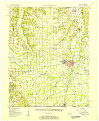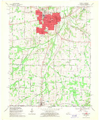
1969 Map of Murray
USGS Topo · Published 1970About this map
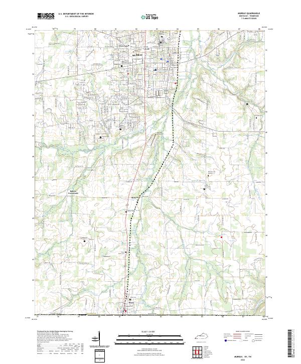
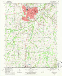
Murray serves as the regional hub for Calloway County in this 1969 revision, anchored by the sprawling campus of Murray State University and its associated stadium, library, and University High School. The urban center is surrounded by an extensive network of rural roads that connect family settlements and agricultural crossroads like Five Points, Midway, and Bakers Crossroads. The landscape is defined by the three branches of the Clarks River—the Middle Fork, East Fork, and the main Clarks River—which drain the undulating terrain toward the north.
Find a feature on this map
77 named features on this map. Tap any name to fly to it.
Don’t see what you’re looking for? This feature index may not catch every label — zoom into the map to look around manually.
Map Details
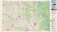
Editions of this 1969 Murray Map
3 editions found

Historical Maps of Murray Through Time
8 maps found