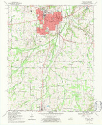
1969 Map of Murray
USGS Topo · Published 1984About this map
Murray State University dominates the northern landscape of this late-1960s survey, surrounded by the growing residential streets of Murray. The campus, featuring the Stadium and Library, serves as a central hub near the intersection of the Louisville and Nashville railroad and major city thoroughfares like Main Street. South of the city, the terrain transitions into a patchwork of rural homesteads and family landmarks such as England Cem and Bakers Crossroads.
Find a feature on this map
104 named features on this map. Tap any name to fly to it.
Don’t see what you’re looking for? This feature index may not catch every label — zoom into the map to look around manually.
Map Details
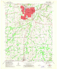
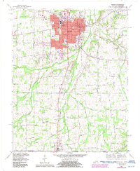
Editions of this 1969 Murray Map
3 editions found
Other maps of this area

1936 · Conyersville
USGS Topo · 1:24,000

1936 · Buchanan
USGS Topo · 1:24,000

1936 · Hazel
USGS Topo · 1:24,000

1936 · New Concord
USGS Topo · 1:24,000

1936 · Crossland
USGS Topo · 1:24,000

1936 · Lynn Grove
USGS Topo · 1:24,000

1936 · Dexter
USGS Topo · 1:24,000

1936 · Hico
USGS Topo · 1:24,000

1936 · Kirksey
USGS Topo · 1:24,000

1942 · New Concord
USGS Topo · 1:24,000