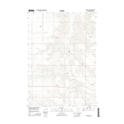
2015 Map of Murray Draw
USGS Topo · Published 2015About this map
Milesville Flat occupies the northwestern reaches of this Haakon County landscape, marking an area of relatively level terrain amidst a complex network of draws and creek beds. The drainage patterns of the West Fork and Murray Draw define the central topography, where seasonal watercourses like W Plum Cr and Shanty Cr carve through the prairie. This 2015 survey reflects a sparsely populated ranching environment, structured by a grid of rural routes including Kings School Rd and Fitch Rd. The inclusion of Tornado Ranch Rd in the southeastern quadrant suggests established agricultural operations that have shaped land use in this part of South Dakota for generations. Researchers can trace the intersection of section lines and natural water features like Long Br, which continue to dictate the placement of ranch infrastructure and local access roads.
Find a feature on this map
19 named features on this map. Tap any name to fly to it.
Don’t see what you’re looking for? This feature index may not catch every label — zoom into the map to look around manually.
Map Details
Editions of this 2015 Murray Draw Map
This is the sole edition of this map. No revisions or reprints were ever made.
Other maps of this area

1954 · Pierre
USGS Topo · 1:250,000

1955 · Rattlesnake Lake SE
USGS Topo · 1:24,000

1955 · Rattlesnake Lake SW
USGS Topo · 1:24,000

1956 · Cherry Creek
USGS Topo · 1:24,000

1958 · Pierre
USGS Topo · 1:250,000

1983 · Mule Creek
USGS Topo · 1:24,000

1983 · Philip
USGS Topo · 1:100,000

1983 · Milesville
USGS Topo · 1:24,000

1983 · Middle Draw
USGS Topo · 1:24,000

1983 · Tornado Ranch
USGS Topo · 1:24,000