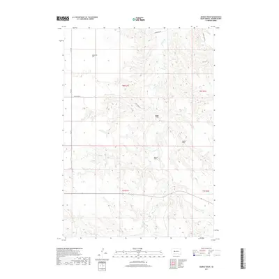
2017 Map of Murray Draw
USGS Topo · Published 2017About this map
Milesville Flat occupies the northern expanse of this Haakon County landscape, marking a plateau-like terrain characteristic of the western South Dakota plains. The drainage network is defined by the W Plum Cr and its various tributaries, including Long Br and Shanty Cr, which carve out the distinct depressions of Middle Draw and Murray Draw. A scattered network of rural routes, such as Fitch Rd and Hardingrove Rd, provides the primary infrastructure through the region, connecting isolated points like West Fork. The land remains largely organized by the Public Land Survey System, with township and range lines like t6n r21e and t5n r22e delineating the vast, open tracts. This map reflects a contemporary view of a traditional ranching and agricultural landscape where geography is defined by subtle elevation changes and seasonal watercourses.
Find a feature on this map
16 named features on this map. Tap any name to fly to it.
Don’t see what you’re looking for? This feature index may not catch every label — zoom into the map to look around manually.
Map Details
Editions of this 2017 Murray Draw Map
This is the sole edition of this map. No revisions or reprints were ever made.
Other maps of this area

1954 · Pierre
USGS Topo · 1:250,000

1955 · Rattlesnake Lake SE
USGS Topo · 1:24,000

1955 · Rattlesnake Lake SW
USGS Topo · 1:24,000

1956 · Cherry Creek
USGS Topo · 1:24,000

1958 · Pierre
USGS Topo · 1:250,000

1983 · Mule Creek
USGS Topo · 1:24,000

1983 · Philip
USGS Topo · 1:100,000

1983 · Milesville
USGS Topo · 1:24,000

1983 · Middle Draw
USGS Topo · 1:24,000

1983 · Tornado Ranch
USGS Topo · 1:24,000