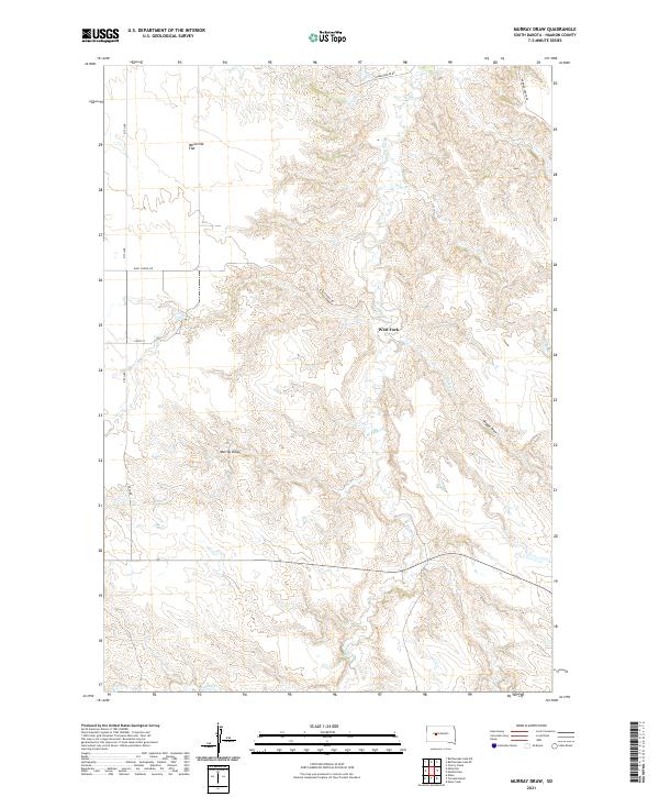
2021 Map of Murray Draw
USGS Topo · Published 2021About this map
Milesville Flat occupies the northern reaches of this Haakon County landscape, marking a distinctive plateau above the complex drainage systems of the western South Dakota plains. The terrain is defined by the deep incisions of Murray Draw and Middle Draw, which channel runoff toward the perennial and intermittent watercourses that shape the local geography. The West Fork serves as a primary hydrological axis, joined by tributaries including W Plum Cr, Long Br, and Shanty Cr.
Find a feature on this map
16 named features on this map. Tap any name to fly to it.
Don’t see what you’re looking for? This feature index may not catch every label — zoom into the map to look around manually.
Map Details
Editions of this 2021 Murray Draw Map
This is the sole edition of this map. No revisions or reprints were ever made.
Other maps of this area

1954 · Pierre
USGS Topo · 1:250,000

1955 · Rattlesnake Lake SE
USGS Topo · 1:24,000

1955 · Rattlesnake Lake SW
USGS Topo · 1:24,000

1956 · Cherry Creek
USGS Topo · 1:24,000

1958 · Pierre
USGS Topo · 1:250,000

1983 · Mule Creek
USGS Topo · 1:24,000

1983 · Philip
USGS Topo · 1:100,000

1983 · Milesville
USGS Topo · 1:24,000

1983 · Middle Draw
USGS Topo · 1:24,000

1983 · Tornado Ranch
USGS Topo · 1:24,000