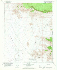
1968 Map of Music Mountains NW
USGS Topo · Published 1971About this map
The Grand Wash Cliffs dominate this northern Arizona landscape, where the dramatic elevation drop defines the boundary between high plateaus and the lower desert floor. In the late 1960s, this region remained a stark environment of resource extraction and ranching infrastructure, evidenced by the Music Mountain Mine and various water points like the Fred Jackson Spring and Lost Creek Reservoir. The western portion of the map is occupied by the broad expanse of the Hualapai Valley (Depression), an arid basin crisscrossed by the Clay Springs Road and a network of fencelines. To the northeast, the corner of the Hualapai Indian Res touches the high ground, while the Music Mountains rise to the south, showcasing the complex topography of Mohave County's transition zones.
Find a feature on this map
17 named features on this map. Tap any name to fly to it.
Don’t see what you’re looking for? This feature index may not catch every label — zoom into the map to look around manually.
Map Details
Editions of this 1968 Music Mountains NW Map
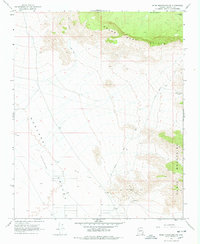
2 editions found
Other maps of this area

1886 · Diamond Creek
USGS Topo · 1:250,000

1886 · Camp Mohave
USGS Topo · 1:250,000

1892 · Diamond Creek
USGS Topo · 1:250,000

1892 · Camp Mohave
USGS Topo · 1:250,000

1942 · Camp Mohave
USGS Topo · 1:250,000

1947 · Kingman
USGS Topo · 1:250,000

1948 · Kingman
USGS Topo · 1:250,000

1948 · Williams
USGS Topo · 1:250,000

1954 · Kingman
USGS Topo · 1:250,000

1954 · Williams
USGS Topo · 1:250,000