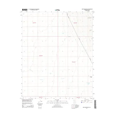
2014 Map of Music Mountains SW
USGS Topo · Published 2014About this map
The Grand Wash Cliffs dominate the northeastern corner of this arid landscape, rising above the broad expanse of the Hualapai Valley. In this dry Mohave County terrain, water management is the primary sign of human adaptation, evidenced by isolated collection points such as Marshall Tank, Crack Tank, and Hackberry Tank. These features are vital landmarks in a territory defined by seasonal drainage, most notably the braided course of Truxton Wash which winds through the southern sections. The map reveals a strict grid of township and range lines overlaying the natural topography, intersected by long, straight thoroughfares like Antares Rd and Apache Rd. These roads provide the primary access through the valley, connecting remote grazing lands or mining claims to the larger regional network near the cliffs.
Find a feature on this map
15 named features on this map. Tap any name to fly to it.
Don’t see what you’re looking for? This feature index may not catch every label — zoom into the map to look around manually.
Map Details
Editions of this 2014 Music Mountains SW Map
This is the sole edition of this map. No revisions or reprints were ever made.
Other maps of this area

1886 · Diamond Creek
USGS Topo · 1:250,000

1886 · Camp Mohave
USGS Topo · 1:250,000

1892 · Diamond Creek
USGS Topo · 1:250,000

1892 · Camp Mohave
USGS Topo · 1:250,000

1939 · Chloride
USGS Topo · 1:48,000

1942 · Camp Mohave
USGS Topo · 1:250,000

1944 · Chloride
USGS Topo · 1:62,500

1947 · Kingman
USGS Topo · 1:250,000

1948 · Kingman
USGS Topo · 1:250,000

1948 · Williams
USGS Topo · 1:250,000