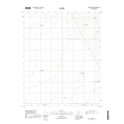
2018 Map of Music Mountains SW
USGS Topo · Published 2018About this map
Grand Wash Cliffs dominate the northeastern corner of this arid landscape, creating a dramatic vertical transition between the higher plateaus and the lower desert plains. Below these cliffs, the wide expanse of the Hualapai Valley is defined by a sparse but organized network of roads, including Del Norte Blvd and Saguaro Blvd, indicating planned residential development or land subdivisions in this Mohave County region. Water management is central to the area's utility, marked by several artificial collection points like Marshall Tank and Hackberry Tank situated to catch runoff. The drainage patterns of the Truxton Wash meander through the southern half of the quadrangle, illustrating the natural hydrological systems that carve through the valley floor and dictated the placement of early ranching infrastructure and contemporary road layouts such as Co Hwy 149.
Find a feature on this map
20 named features on this map. Tap any name to fly to it.
Don’t see what you’re looking for? This feature index may not catch every label — zoom into the map to look around manually.
Map Details
Editions of this 2018 Music Mountains SW Map
This is the sole edition of this map. No revisions or reprints were ever made.
Other maps of this area

1886 · Diamond Creek
USGS Topo · 1:250,000

1886 · Camp Mohave
USGS Topo · 1:250,000

1892 · Diamond Creek
USGS Topo · 1:250,000

1892 · Camp Mohave
USGS Topo · 1:250,000

1939 · Chloride
USGS Topo · 1:48,000

1942 · Camp Mohave
USGS Topo · 1:250,000

1944 · Chloride
USGS Topo · 1:62,500

1947 · Kingman
USGS Topo · 1:250,000

1948 · Kingman
USGS Topo · 1:250,000

1948 · Williams
USGS Topo · 1:250,000