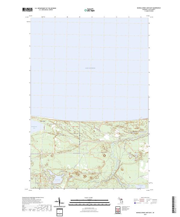
2023 Map of Muskallonge Lake East
USGS Topo · Published 2023About this map
Deer Park sits at the narrow threshold between the expansive waters of Lake Superior and the interior basin of Muskallonge Lake. This northern Luce County landscape is defined by its transition from the Great Lakes shoreline to a network of inland water bodies and forest trails. The presence of Coast Guard Line Rd and Deer Park Rd highlights the area's history of maritime monitoring and seasonal access. To the east, the Two Hearted River winds through the terrain toward the lake, accompanied by the North Country National Scenic Trl. Farther inland, smaller features like Connor Lakes, Perch Lake, and Cris Brown Lake are connected by a web of fire lanes and logging tracks such as Sevenmile Fire Lane Rd and the Two-heart Trl, illustrating a region shaped by both recreational use and remote forest management.
Find a feature on this map
27 named features on this map. Tap any name to fly to it.
Don’t see what you’re looking for? This feature index may not catch every label — zoom into the map to look around manually.
Map Details
Editions of this 2023 Muskallonge Lake East Map
This is the sole edition of this map. No revisions or reprints were ever made.
Other maps of this area

1954 · Sault Sainte Marie
USGS Topo · 1:250,000

1956 · Sault Sainte Marie
USGS Topo · 1:250,000

1957 · Sault Sainte Marie
USGS Topo · 1:250,000

1958 · Sault Sainte Marie
USGS Topo · 1:250,000

1968 · Muskallonge Lake East
USGS Topo · 1:24,000

1968 · Muskallonge Lake SW
USGS Topo · 1:24,000

1968 · Muskallonge Lake West
USGS Topo · 1:24,000

1968 · Muskallonge Lake SE
USGS Topo · 1:24,000

1968 · Betsy Lake NW
USGS Topo · 1:24,000

1968 · Betsy Lake SW
USGS Topo · 1:24,000