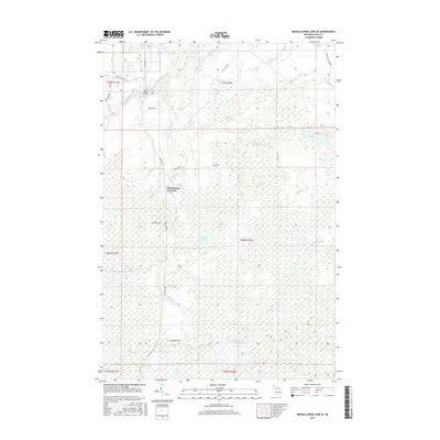
2017 Map of Muskallonge Lake SE
USGS Topo · Published 2017About this map
Pine Stump Junction serves as a focal point in this 2017 survey of the Luce County backcountry, where the upper reaches of the Two Hearted River wind through a complex network of wetlands and small lakes. The landscape is defined by its water systems, from the drainage of Whiskey Creek and Wabash Cr to named bodies like McMahon Lake and Sleeper Lake. A remote transportation network is evidenced by local routes such as Deer Park Rd and the Dawson Trl, while the High Bridge crossing suggests the historical infrastructure required to navigate this portion of the Upper Peninsula. Several family-named features, including Cris Brown Lake and McTivers Lake, alongside the curious Old Headquarters Lake, provide valuable clues for genealogists and local historians tracing the development of Columbus Township.
Find a feature on this map
30 named features on this map. Tap any name to fly to it.
Don’t see what you’re looking for? This feature index may not catch every label — zoom into the map to look around manually.
Map Details
Editions of this 2017 Muskallonge Lake SE Map
This is the sole edition of this map. No revisions or reprints were ever made.
Other maps of this area

1954 · Sault Sainte Marie
USGS Topo · 1:250,000

1956 · Sault Sainte Marie
USGS Topo · 1:250,000

1957 · Sault Sainte Marie
USGS Topo · 1:250,000

1958 · Sault Sainte Marie
USGS Topo · 1:250,000

1962 · Auger Lake
USGS Topo · 1:24,000

1968 · Muskallonge Lake East
USGS Topo · 1:24,000

1968 · Muskallonge Lake SW
USGS Topo · 1:24,000

1968 · Muskallonge Lake West
USGS Topo · 1:24,000

1968 · Muskallonge Lake SE
USGS Topo · 1:24,000

1968 · Betsy Lake NW
USGS Topo · 1:24,000