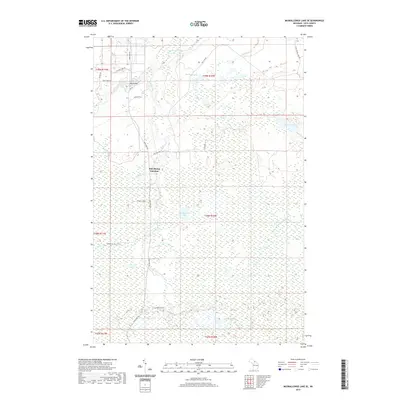
2019 Map of Muskallonge Lake SE
USGS Topo · Published 2019About this map
Two Hearted River drainage patterns define this Luce County landscape, where the river and its many tributaries, including Whiskey Creek and Wabash Cr, wind through a mosaic of wetlands and small lakes. The crossroads at Pine Stump Junction serves as the primary landmark in this corner of the Upper Peninsula, situated at the intersection of Deer Park Rd and Pike Lake Rd. The map reveals a land structured by recreational and logging access, with named points like the High Bridge and the Old Headquarters Lake reflecting the area's history of wilderness management.
Find a feature on this map
32 named features on this map. Tap any name to fly to it.
Don’t see what you’re looking for? This feature index may not catch every label — zoom into the map to look around manually.
Map Details
Editions of this 2019 Muskallonge Lake SE Map
This is the sole edition of this map. No revisions or reprints were ever made.
Other maps of this area

1954 · Sault Sainte Marie
USGS Topo · 1:250,000

1956 · Sault Sainte Marie
USGS Topo · 1:250,000

1957 · Sault Sainte Marie
USGS Topo · 1:250,000

1958 · Sault Sainte Marie
USGS Topo · 1:250,000

1962 · Auger Lake
USGS Topo · 1:24,000

1968 · Muskallonge Lake East
USGS Topo · 1:24,000

1968 · Muskallonge Lake SW
USGS Topo · 1:24,000

1968 · Muskallonge Lake West
USGS Topo · 1:24,000

1968 · Muskallonge Lake SE
USGS Topo · 1:24,000

1968 · Betsy Lake NW
USGS Topo · 1:24,000