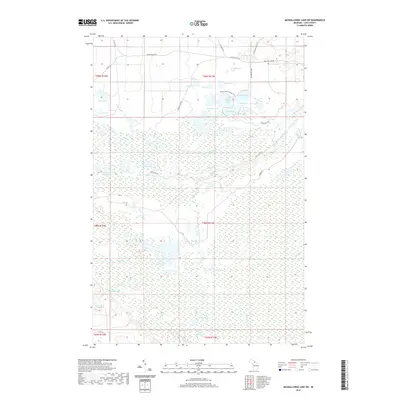
2019 Map of Muskallonge Lake SW
USGS Topo · Published 2019About this map
The N Br Two Hearted River and its western and southern branches dominate this section of Luce County, carving through a landscape defined by an extensive network of interior lakes and wetlands. The drainage pattern here, including Dairy Cr and Dawson Cr, creates a complex hydrological environment that has historically dictated the placement of seasonal camps and timber access routes. North of the river, a cluster of named water bodies like Camp Eight Lake, Pratt Lake, and Bullhead Lake are linked by primitive roads and the Pretty Lakes Hiking Trail.
Find a feature on this map
48 named features on this map. Tap any name to fly to it.
Don’t see what you’re looking for? This feature index may not catch every label — zoom into the map to look around manually.
Map Details
Editions of this 2019 Muskallonge Lake SW Map
This is the sole edition of this map. No revisions or reprints were ever made.
Other maps of this area

1954 · Sault Sainte Marie
USGS Topo · 1:250,000

1956 · Sault Sainte Marie
USGS Topo · 1:250,000

1957 · Sault Sainte Marie
USGS Topo · 1:250,000

1958 · Sault Sainte Marie
USGS Topo · 1:250,000

1962 · Auger Lake
USGS Topo · 1:24,000

1968 · Muskallonge Lake East
USGS Topo · 1:24,000

1968 · Muskallonge Lake SW
USGS Topo · 1:24,000

1968 · Muskallonge Lake West
USGS Topo · 1:24,000

1968 · Muskallonge Lake SE
USGS Topo · 1:24,000
1968 · Grand Marais SE
USGS Topo · 1:24,000