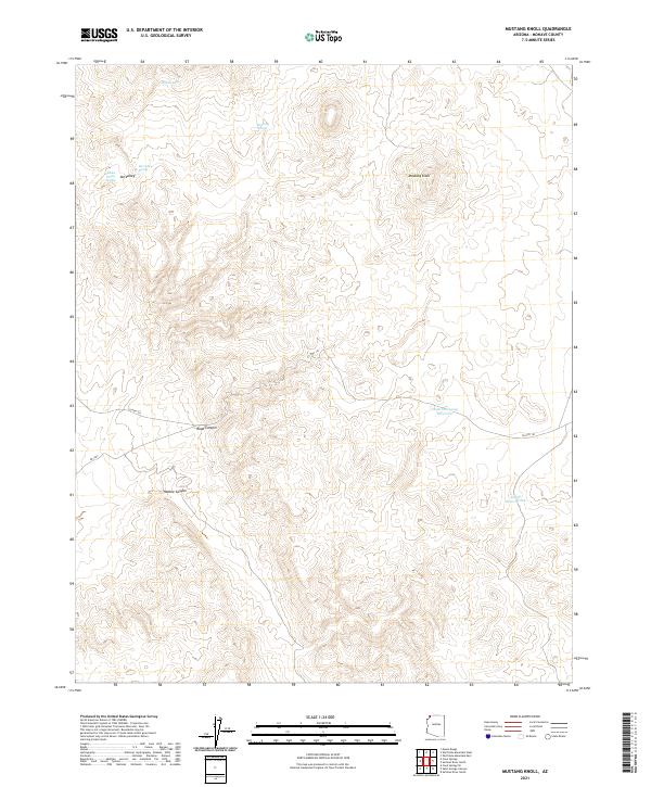
2021 Map of Mustang Knoll
USGS Topo · Published 2021About this map
Mustang Knoll rises as a central landmark within this portion of Mohave County, where the landscape is defined by the high-desert drainages of Road Canyon and Hobble Canyon. This 2021 survey illustrates a region where water sources remain the primary orienting features for land use and navigation. The distribution of Mustang Spring, Ide Valley Spring, and Hidden Valley Spring suggests a reliance on natural seeps and springs to support activity in the area, while the presence of the Stock Driveway Reservoir indicates the continued importance of livestock movement through these basins.
Find a feature on this map
21 named features on this map. Tap any name to fly to it.
Don’t see what you’re looking for? This feature index may not catch every label — zoom into the map to look around manually.
Map Details
Editions of this 2021 Mustang Knoll Map
This is the sole edition of this map. No revisions or reprints were ever made.
Other maps of this area

1886 · Mt. Trumbull
USGS Topo · 1:250,000

1892 · Mt. Trumbull
USGS Topo · 1:250,000

1953 · Grand Canyon
USGS Topo · 1:250,000

1954 · Littlefield 3 NE
USGS Topo · 1:24,000
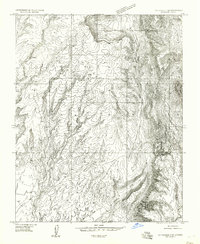
1954 · Littlefield 3 SE
USGS Topo · 1:24,000

1954 · Littlefield
USGS Topo · 1:62,500

1954 · Cane Springs
USGS Topo · 1:62,500

1957 · Grand Canyon
USGS Topo · 1:250,000

1958 · Grand Canyon
USGS Topo · 1:250,000

1960 · Grand Canyon
USGS Topo · 1:250,000