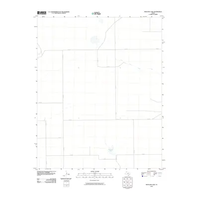
2010 Map of Mustang Lake
USGS Topo · Published 2010About this map
Mustang Lake sits within a wide agricultural landscape in Deaf Smith County, defined by a rigid grid of county roads and intermittent watercourses. The 2010 survey by the U.S. Geological Survey captures a sparsely populated region where the environment is heavily structured by the section lines of the Texas Panhandle. Crossing the northern portion of the quadrangle, Palo Duro Creek winds through the terrain, providing a natural break in the geometric layout of routes like Co Rd 16 and Co Rd TT. This map serves as an important record of land use and water resources, showing the relationship between small playa lakes and the extensive network of rural infrastructure including Co Rd 10 and Co Rd V.
Find a feature on this map
13 named features on this map. Tap any name to fly to it.
Don’t see what you’re looking for? This feature index may not catch every label — zoom into the map to look around manually.
Map Details
Editions of this 2010 Mustang Lake Map
This is the sole edition of this map. No revisions or reprints were ever made.
Other maps of this area

1954 · Tucumcari
USGS Topo · 1:250,000

1954 · Clovis
USGS Topo · 1:250,000

1958 · Clovis
USGS Topo · 1:250,000

1958 · Tucumcari
USGS Topo · 1:250,000

1966 · Sand Point
USGS Topo · 1:24,000

1966 · Norton Lake
USGS Topo · 1:24,000

1968 · Rock Camp
USGS Topo · 1:24,000

1971 · Mustang Lake
USGS Topo · 1:24,000

1971 · Bootleg
USGS Topo · 1:24,000

1971 · Garcia Lake
USGS Topo · 1:24,000