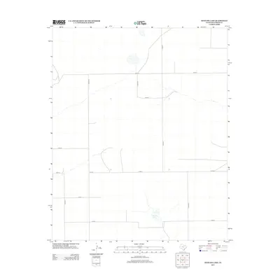
2012 Map of Mustang Lake
USGS Topo · Published 2012About this map
Mustang Lake provides a central landmark within this expansive agricultural landscape of Deaf Smith County. The terrain is organized by a precise grid of rural thoroughfares, including Co Road T and Co Road UU, reflecting the systematic land division characteristic of the Texas Panhandle. Several intermittent water features and drainage patterns cross the area, dictated by the subtle elevation changes captured by the U.S. Geological Survey. The layout of roads like Co Rd 16 and 12th Rd emphasizes the importance of land access for the local ranching and farming operations that have historically defined this region's economy.
Find a feature on this map
13 named features on this map. Tap any name to fly to it.
Don’t see what you’re looking for? This feature index may not catch every label — zoom into the map to look around manually.
Map Details
Editions of this 2012 Mustang Lake Map
This is the sole edition of this map. No revisions or reprints were ever made.
Other maps of this area

1954 · Tucumcari
USGS Topo · 1:250,000

1954 · Clovis
USGS Topo · 1:250,000

1958 · Clovis
USGS Topo · 1:250,000

1958 · Tucumcari
USGS Topo · 1:250,000

1966 · Sand Point
USGS Topo · 1:24,000

1966 · Norton Lake
USGS Topo · 1:24,000

1968 · Rock Camp
USGS Topo · 1:24,000

1971 · Mustang Lake
USGS Topo · 1:24,000

1971 · Bootleg
USGS Topo · 1:24,000

1971 · Garcia Lake
USGS Topo · 1:24,000