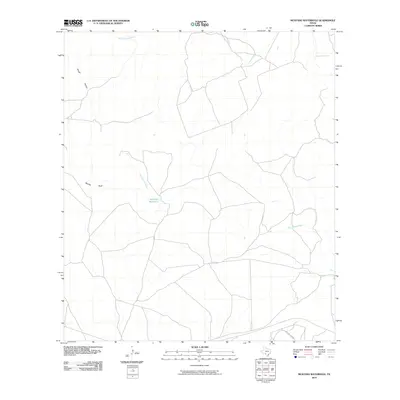
2010 Map of Mustang Waterhole
USGS Topo · Published 2010About this map
Mustang Waterhole serves as the central namesake of this Kinney County landscape, where the seasonal hydrology of the region is etched into the terrain. The West Nueces River carves a winding path across the quadrangle, joined by tributaries such as French Creek and the drainage of Rough Hollow. This 2010 survey illustrates a sparsely populated territory characterized by expansive ranch lands and a network of private roads, with Rolling Oaks Dr providing one of the few named access points in the southern portion. Elevation changes are most pronounced at Barrilla Bluff, which overlooks the river valley. The map is a precise record of the land's natural drainage patterns and the isolated infrastructure necessary to navigate this part of the Texas Hill Country.
Find a feature on this map
6 named features on this map. Tap any name to fly to it.
Don’t see what you’re looking for? This feature index may not catch every label — zoom into the map to look around manually.
Map Details
Editions of this 2010 Mustang Waterhole Map
This is the sole edition of this map. No revisions or reprints were ever made.
Other maps of this area

1896 · Brackett
USGS Topo · 1:125,000

1897 · Brackett
USGS Topo · 1:125,000

1898 · Uvalde
USGS Topo · 1:125,000

1899 · Uvalde
USGS Topo · 1:125,000

1938 · Turkey Mountain
USGS Topo · 1:48,000

1943 · Turkey Mountain
USGS Topo · 1:62,500

1949 · Cline
USGS Topo · 1:62,500

1954 · San Antonio
USGS Topo · 1:250,000

1957 · San Antonio
USGS Topo · 1:250,000

1958 · Del Rio
USGS Topo · 1:250,000