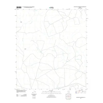
2013 Map of Mustang Waterhole
USGS Topo · Published 2013About this map
The W Nueces River carves a winding path through this portion of Kinney County, defining a landscape shaped by intermittent water sources and ranching history. The eponymous Mustang Waterhole and nearby Double Waterhole serve as critical landmarks in an arid region where reliable water dictated the locations of early settlements and livestock operations. This 2013 survey illustrates the sparse distribution of human activity in the area, anchored by the Martin Ranch in the southeastern quadrant. Natural relief is prominently marked by features such as Barrilla Bluff and the drainage of Rough Hollow, while French Cr feeds into the primary river system. The network of local roads and 4WD tracks trace the topography of the limestone hills, reflecting the enduring rural character of this West Texas terrain.
Find a feature on this map
7 named features on this map. Tap any name to fly to it.
Don’t see what you’re looking for? This feature index may not catch every label — zoom into the map to look around manually.
Map Details
Editions of this 2013 Mustang Waterhole Map
This is the sole edition of this map. No revisions or reprints were ever made.
Other maps of this area

1896 · Brackett
USGS Topo · 1:125,000

1897 · Brackett
USGS Topo · 1:125,000

1898 · Uvalde
USGS Topo · 1:125,000

1899 · Uvalde
USGS Topo · 1:125,000

1938 · Turkey Mountain
USGS Topo · 1:48,000

1943 · Turkey Mountain
USGS Topo · 1:62,500

1949 · Cline
USGS Topo · 1:62,500

1954 · San Antonio
USGS Topo · 1:250,000

1957 · San Antonio
USGS Topo · 1:250,000

1958 · Del Rio
USGS Topo · 1:250,000