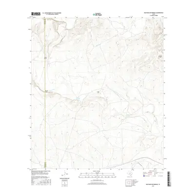
2016 Map of Mustang Waterhole
USGS Topo · Published 2016About this map
The W Nueces River winds through this arid section of the Edwards Plateau, shaping a landscape defined by dramatic elevation changes and seasonal water sources. Situated along the boundary of Kinney Co and Uvalde Co, the terrain is marked by significant features like Barrilla Bluff and several drainage systems including Rough Hollow, Field Draw, and Windmill Draw. This 2016 survey illustrates the critical role of specific water locations in such a dry environment, highlighting named features like Mustang Waterhole and Double Waterhole. While largely undeveloped, the map shows the transition into residential or ranch access roads near the southern edge at Rolling Oaks Dr, contrasting the wilder stretches of French Cr to the north.
Find a feature on this map
10 named features on this map. Tap any name to fly to it.
Don’t see what you’re looking for? This feature index may not catch every label — zoom into the map to look around manually.
Map Details
Editions of this 2016 Mustang Waterhole Map
This is the sole edition of this map. No revisions or reprints were ever made.
Other maps of this area

1896 · Brackett
USGS Topo · 1:125,000

1897 · Brackett
USGS Topo · 1:125,000

1898 · Uvalde
USGS Topo · 1:125,000

1899 · Uvalde
USGS Topo · 1:125,000

1938 · Turkey Mountain
USGS Topo · 1:48,000

1943 · Turkey Mountain
USGS Topo · 1:62,500

1949 · Cline
USGS Topo · 1:62,500

1954 · San Antonio
USGS Topo · 1:250,000

1957 · San Antonio
USGS Topo · 1:250,000

1958 · Del Rio
USGS Topo · 1:250,000