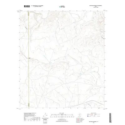
2019 Map of Mustang Waterhole
USGS Topo · Published 2019About this map
The W Nueces River carves a winding path through this corner of the Edwards Plateau, defining a landscape of canyons and high points. This 2019 survey by the U.S. Geological Survey details the rugged topography where the river is joined by seasonal drainages like French Cr and the descriptively named Rough Hollow. The terrain is characterized by steep elevation changes, notably at Barrilla Bluff, which stands as a prominent landmark overlooking the river valley.
Find a feature on this map
9 named features on this map. Tap any name to fly to it.
Don’t see what you’re looking for? This feature index may not catch every label — zoom into the map to look around manually.
Map Details
Editions of this 2019 Mustang Waterhole Map
This is the sole edition of this map. No revisions or reprints were ever made.
Other maps of this area

1896 · Brackett
USGS Topo · 1:125,000

1897 · Brackett
USGS Topo · 1:125,000

1898 · Uvalde
USGS Topo · 1:125,000

1899 · Uvalde
USGS Topo · 1:125,000

1938 · Turkey Mountain
USGS Topo · 1:48,000

1943 · Turkey Mountain
USGS Topo · 1:62,500

1949 · Cline
USGS Topo · 1:62,500

1954 · San Antonio
USGS Topo · 1:250,000

1957 · San Antonio
USGS Topo · 1:250,000

1958 · Del Rio
USGS Topo · 1:250,000