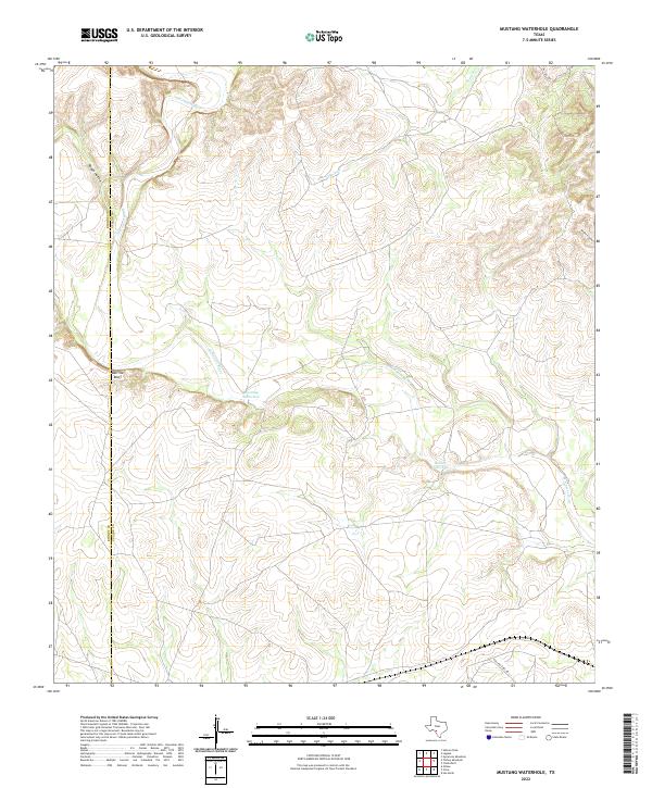
2022 Map of Mustang Waterhole
USGS Topo · Published 2022About this map
The W Nueces River carves a winding path through this corner of Southwest Texas, defining the landscape of the Kinney and Uvalde county line. This contemporary survey highlights the sparse, ranch-driven geography where access is limited to thoroughfares like Rolling Oaks Dr and private ranch gates like Pvt Rd 2400. Significant landmarks are often tied to the scarce water sources in this arid region, such as the namesake Mustang Waterhole and the nearby Double Waterhole. The elevation varies from the steep Barrilla Bluff to the drainage networks of French Cr and Rough Hollow. To the east, Windmill Draw points toward the traditional agricultural practices that have sustained these rural parcels for generations, providing researchers with a clear record of modern property boundaries and natural topography.
Find a feature on this map
10 named features on this map. Tap any name to fly to it.
Don’t see what you’re looking for? This feature index may not catch every label — zoom into the map to look around manually.
Map Details
Editions of this 2022 Mustang Waterhole Map
This is the sole edition of this map. No revisions or reprints were ever made.
Other maps of this area

1896 · Brackett
USGS Topo · 1:125,000

1897 · Brackett
USGS Topo · 1:125,000

1898 · Uvalde
USGS Topo · 1:125,000

1899 · Uvalde
USGS Topo · 1:125,000

1938 · Turkey Mountain
USGS Topo · 1:48,000

1943 · Turkey Mountain
USGS Topo · 1:62,500

1949 · Cline
USGS Topo · 1:62,500

1954 · San Antonio
USGS Topo · 1:250,000

1957 · San Antonio
USGS Topo · 1:250,000

1958 · Del Rio
USGS Topo · 1:250,000