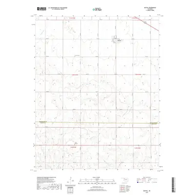
2018 Map of Mutual
USGS Topo · Published 2018About this map
Mutual sits at the northern edge of this Northwest Oklahoma landscape, a small community organized around a classic grid of streets including Main St, Broadway St, and Walnut St. The terrain is defined by the drainage patterns of Bent Cr and Cottonwood Cr, which carve through the plains. The map reveals a strictly maintained section-line road system, with routes like E0540 Rd and N2150 Rd providing the primary structure for travel and land division. Genealogists will find historical value in the recorded locations of Persimmon Cem near the center of the sheet and Sunny Side Cem further south, both situated along these rural corridors. The boundary between Woodward and Dewey Counties runs horizontally through the lower third of the quadrangle, marking a significant administrative transition in this agricultural region.
Find a feature on this map
36 named features on this map. Tap any name to fly to it.
Don’t see what you’re looking for? This feature index may not catch every label — zoom into the map to look around manually.
Map Details
Editions of this 2018 Mutual Map
This is the sole edition of this map. No revisions or reprints were ever made.
Other maps of this area

1955 · Woodward
USGS Topo · 1:250,000

1958 · Woodward
USGS Topo · 1:250,000

1969 · Mooreland SE
USGS Topo · 1:24,000

1969 · Sharon
USGS Topo · 1:24,000

1969 · Mooreland SW
USGS Topo · 1:24,000

1969 · Mutual SW
USGS Topo · 1:24,000

1969 · Mutual
USGS Topo · 1:24,000

1969 · Lenora
USGS Topo · 1:24,000

1969 · Camargo
USGS Topo · 1:24,000

1969 · Vici
USGS Topo · 1:24,000