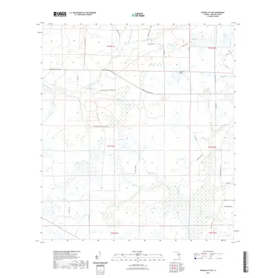
2021 Map of Myakka City NW
USGS Topo · Published 2021About this map
The N Fork Manatee River and E Fork Manatee River converge in this low-lying region of Manatee County, creating a complex network of wetlands and seasonal drainages. The landscape is defined by vast open areas like Johnson Prairie and Coker Prairie, interspersed with dense hydric features such as Gum Swamp and Green Slough. This modern survey illustrates the preservation of these critical watersheds through trails like the Lake Manatee Lower Watershed Trl and the Duette Park Trl.
Find a feature on this map
46 named features on this map. Tap any name to fly to it.
Don’t see what you’re looking for? This feature index may not catch every label — zoom into the map to look around manually.
Map Details
Editions of this 2021 Myakka City NW Map
This is the sole edition of this map. No revisions or reprints were ever made.
Other maps of this area

1944 · Rye
USGS Topo · 1:31,680

1944 · Verna
USGS Topo · 1:31,680

1944 · Miakka
USGS Topo · 1:31,680

1956 · Myakka City
USGS Topo · 1:24,000

1956 · Edgeville
USGS Topo · 1:24,000

1956 · Myakka City NW
USGS Topo · 1:24,000

1956 · Myakka Head
USGS Topo · 1:24,000

1956 · Duette
USGS Topo · 1:24,000

1956 · Keentown
USGS Topo · 1:24,000

1956 · Tampa
USGS Topo · 1:250,000