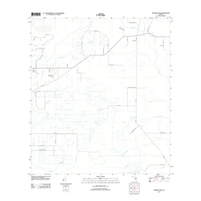
2012 Map of Myakka Head
USGS Topo · Published 2012About this map
The Myakka River defines the upper drainage of this landscape in eastern Manatee County, where agriculture and large tracts of land remain the primary features into the early 21st century. The map reveals a network of rural routes named for local families, including Owen Roberts Rd, Sidney Roberts Rd, and Ralph Durrance Rd, indicating the historical roots of the surrounding homesteads.
Find a feature on this map
47 named features on this map. Tap any name to fly to it.
Don’t see what you’re looking for? This feature index may not catch every label — zoom into the map to look around manually.
Map Details
Editions of this 2012 Myakka Head Map
This is the sole edition of this map. No revisions or reprints were ever made.
Other maps of this area

1955 · Ft. Green
USGS Topo · 1:24,000

1956 · Ona
USGS Topo · 1:24,000

1956 · Myakka City
USGS Topo · 1:24,000

1956 · Edgeville
USGS Topo · 1:24,000

1956 · Myakka City NW
USGS Topo · 1:24,000

1956 · Myakka Head
USGS Topo · 1:24,000

1956 · Limestone
USGS Topo · 1:24,000

1956 · Duette
USGS Topo · 1:24,000

1956 · Keentown
USGS Topo · 1:24,000

1956 · Tampa
USGS Topo · 1:250,000