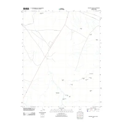
2011 Map of Mystery Valley
USGS Topo · Published 2011About this map
Mystery Valley anchors this high-desert landscape, revealing a high concentration of named natural arches and unique geological formations. The topography is defined by significant mesas and buttes, including Mitchell Butte, Gray Whiskers, and Mitchell Mesa, which overlook a network of ephemeral watercourses and canyons. The presence of features such as the Square House Natural Arch and Tseya Neechee Canyon highlights the area's geological complexity and importance to local navigation. Transportation is primarily confined to designated tribal routes, such as Indian Rte-42 and Monument Valley Rd, which skirt the northern boundaries. This 2011 survey serves as a record of the modern navigational infrastructure within the Navajo Nation, documenting how contemporary roads interface with traditional landmarks like The Spectacles and the Eye of the Rabbit.
Find a feature on this map
19 named features on this map. Tap any name to fly to it.
Don’t see what you’re looking for? This feature index may not catch every label — zoom into the map to look around manually.
Map Details
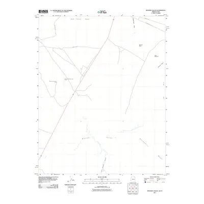
Editions of this 2011 Mystery Valley Map
2 editions found
Other maps of this area

1883 · Marsh Pass
USGS Topo · 1:250,000

1886 · Henry Mountains
USGS Topo · 1:250,000

1892 · Marsh Pass
USGS Topo · 1:250,000

1892 · Henry Mountains
USGS Topo · 1:250,000

1952 · Clay Hills 4 SW
USGS Topo · 1:24,000

1952 · Clay Hills 3 SE
USGS Topo · 1:24,000

1952 · Agathla Peak 1 NW
USGS Topo · 1:24,000

1952 · Boot Mesa
USGS Topo · 1:62,500

1952 · Clay Hills 4 SE
USGS Topo · 1:24,000

1952 · Agathla Peak 1 NE
USGS Topo · 1:24,000