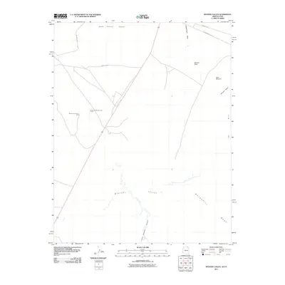
2011 Map of Mystery Valley
USGS Topo · Published 2011About this map
Mystery Valley and its surrounding geological landmarks define this section of the Navajo Nation near the Arizona-Utah border. The landscape is characterized by prominent red-rock features such as Mitchell Butte and Mitchell Mesa, which rise above the drainage systems of Horse Pasture Canyon and Tseya Neechee Canyon. This high-desert terrain is navigated by a network of local routes, including Indian Rte-6410 and Monument Valley Rd, which provide access to the area’s remote interior. Notable for those studying the specific infrastructure of the region, the map identifies specific points of interest like the Monument Number 1 Tunnel and the Monument Number One Annex. The land use pattern shown here emphasizes the intersection of natural erosion-carved topography and the essential transport arteries that connect these remote mesas and washes.
Find a feature on this map
15 named features on this map. Tap any name to fly to it.
Don’t see what you’re looking for? This feature index may not catch every label — zoom into the map to look around manually.
Map Details
Editions of this 2011 Mystery Valley Map
2 editions found
Other maps of this area

1883 · Marsh Pass
USGS Topo · 1:250,000

1886 · Henry Mountains
USGS Topo · 1:250,000

1892 · Marsh Pass
USGS Topo · 1:250,000

1892 · Henry Mountains
USGS Topo · 1:250,000

1952 · Clay Hills 4 SW
USGS Topo · 1:24,000

1952 · Clay Hills 3 SE
USGS Topo · 1:24,000

1952 · Agathla Peak 1 NW
USGS Topo · 1:24,000

1952 · Boot Mesa
USGS Topo · 1:62,500

1952 · Clay Hills 4 SE
USGS Topo · 1:24,000

1952 · Agathla Peak 1 NE
USGS Topo · 1:24,000