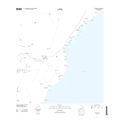
2013 Map of Naalehu
USGS Topo · Published 2013About this map
Nā'ālehu and Wai'ōhinu anchor this coastal survey of the southern tip of the Island of Hawai'i. The landscape is defined by its dramatic volcanic geology, featuring numerous prominent cinder cones like Puu Haao and Puu o Kaau, alongside steep coastal cliffs including Waipio Pali and Māniania Pali. The Hawaii Belt Rd serves as the primary artery connecting these settlements, passing through smaller locales such as Honu'apo and Kahaea.
Find a feature on this map
88 named features on this map. Tap any name to fly to it.
Don’t see what you’re looking for? This feature index may not catch every label — zoom into the map to look around manually.
Map Details
Editions of this 2013 Naalehu Map
This is the sole edition of this map. No revisions or reprints were ever made.
Other maps of this area

1923 · Pahala
USGS Topo · 1:62,500

1924 · Kalae
USGS Topo · 1:62,500

1924 · Honuapo
USGS Topo · 1:62,500

1954 · Hawaii South
USGS Topo · 1:250,000

1959 · Hawaii South
USGS Topo · 1:250,000

1961 · Hawaii South
USGS Topo · 1:250,000

1962 · Hawaii South
USGS Topo · 1:250,000

1962 · Kahuku Ranch
USGS Topo · 1:24,000
1962 · Ka Lae
USGS Topo · 1:24,000
1962 · Naalehu
USGS Topo · 1:24,000