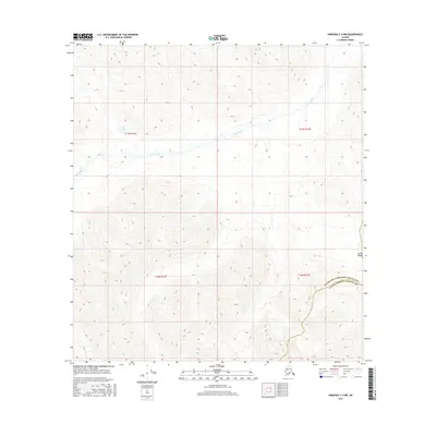
2016 Map of Nabesna C-4 NW
USGS Topo · Published 2016About this map
The Tetlin River meanders across this interior landscape, carving a low-lying valley through the northern reaches of the Alaska Range. This 2016 survey highlights a remote transition between massive mountain terrain and the braided water systems of the Tanana River basin. In the northwestern corner, Bean Lake sits in a high-elevation basin, serving as a primary landmark in a region defined more by its natural hydrography than by human infrastructure. The map also delineates the administrative boundary between the Southeast Fairbanks Census Area and the Valdez-Cordova Census Area, illustrating how modern census divisions are superimposed over this undeveloped wilderness.
Find a feature on this map
8 named features on this map. Tap any name to fly to it.
Don’t see what you’re looking for? This feature index may not catch every label — zoom into the map to look around manually.
Map Details
Editions of this 2016 Nabesna C-4 NW Map
This is the sole edition of this map. No revisions or reprints were ever made.
Other maps of this area

1948 · Nabesna D-5
USGS Topo · 1:63,360

1950 · Nabesna
USGS Topo · 1:250,000

1950 · Nabesna D-5
USGS Topo · 1:63,360

1951 · Nabesna
USGS Topo · 1:250,000

1952 · Nabesna D-5
USGS Topo · 1:63,360

1954 · Nabesna D-4
USGS Topo · 1:63,360

1957 · Nabesna C-5
USGS Topo · 1:63,360
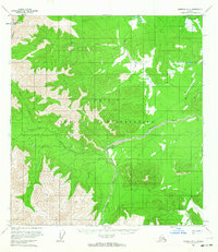
1960 · Nabesna D-4
USGS Topo · 1:63,360

1960 · Nabesna
USGS Topo · 1:250,000

1960 · Nabesna C-4
USGS Topo · 1:63,360