
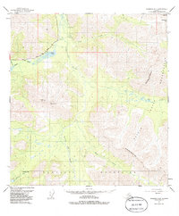
1950 Map of Nabesna D-5
USGS Topo · Published 1963About this map
The Mentasta Mountains dominate this 1950s interior landscape, where the Little Tok River carves a central valley between high passes and glacial lakes. This survey captures a remote wilderness during a period of expanding terrestrial access via the Glenn Highway, which snakes through the northwestern corner of the sheet near Mineral Lake. A significant portion of the eastern terrain falls within the Tetlin Indian Reservation Boundary (Approximate), marking a distinct division between the public domain and indigenous lands.
Find a feature on this map
13 named features on this map. Tap any name to fly to it.
Don’t see what you’re looking for? This feature index may not catch every label — zoom into the map to look around manually.
Map Details
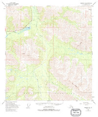
Editions of this 1950 Nabesna D-5 Map
3 editions found
Other maps of this area

1948 · Tanacross A-6
USGS Topo · 1:63,360

1948 · Tanacross A-4
USGS Topo · 1:63,360

1948 · Nabesna C-6
USGS Topo · 1:63,360

1948 · Nabesna D-5
USGS Topo · 1:63,360

1948 · Tanacross A-5
USGS Topo · 1:63,360

1949 · Tanacross
USGS Topo · 1:250,000

1949 · Nabesna D-6
USGS Topo · 1:63,360

1949 · Tanacross A-5
USGS Topo · 1:63,360

1950 · Tanacross
USGS Topo · 1:250,000

1950 · Nabesna
USGS Topo · 1:250,000