
1948 Map of Tanacross A-4
USGS Topo · Published 1965About this map
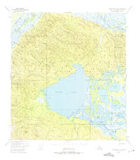
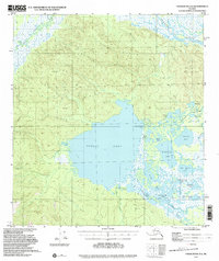
The Tetlin Indian Reservation dominates this 1948 survey, revealing a landscape defined by an intricate network of waterways and traditional settlements. At the heart of the region lies the expansive Tetlin Lake, surrounded by a labyrinth of smaller water bodies including Gasoline Lake, Dathlalmund Lake, and Island Lake. The mapping captures the locations of Tetlin and Last Tetlin Village, providing a record of established communities along the Tetlin River and near the foot of Last Tetlin Hill.
Find a feature on this map
32 named features on this map. Tap any name to fly to it.
Don’t see what you’re looking for? This feature index may not catch every label — zoom into the map to look around manually.
Map Details
Editions of this 1948 Tanacross A-4 Map
3 editions found
Other maps of this area

1948 · Tanacross B-5
USGS Topo · 1:63,360

1948 · Tanacross A-3
USGS Topo · 1:63,360

1948 · Nabesna D-5
USGS Topo · 1:63,360

1948 · Tanacross A-5
USGS Topo · 1:63,360

1948 · Tanacross B-3
USGS Topo · 1:63,360

1949 · Tanacross
USGS Topo · 1:250,000

1949 · Tanacross B-4
USGS Topo · 1:63,360

1949 · Tanacross A-5
USGS Topo · 1:63,360

1949 · Tanacross B-3
USGS Topo · 1:63,360

1950 · Tanacross
USGS Topo · 1:250,000