
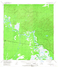
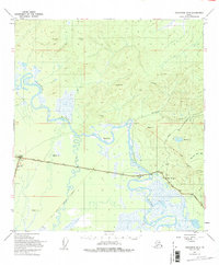
1949 Map of Tanacross B-4
USGS Topo · Published 1964About this map
The Tanana River meanders through a sprawling landscape of wetlands and northern forests in this mid-century survey of eastern Alaska. A critical transportation corridor is visible where the Alaska Highway meets the Taylor Highway at Tetlin Junction, illustrating the post-war infrastructure development of the territory. Much of the southern portion of the map is dedicated to the Tetlin Indian Reservation, characterized by complex water networks and low-lying marshes. The settlement of Tok appears as a key hub, supported by a Landing Strip and the presence of a significant Pipeline corridor. High elevation survey points like Vabm Tok 2946 and Vabm Summit 3320 provide topographical context for the surrounding ridges that feed into the West Fork Ladue River. This map documents a pivotal era when overland routes were solidifying the region's connection to the outside world.
Find a feature on this map
17 named features on this map. Tap any name to fly to it.
Don’t see what you’re looking for? This feature index may not catch every label — zoom into the map to look around manually.
Map Details
Editions of this 1949 Tanacross B-4 Map
3 editions found
Other maps of this area

1948 · Tanacross B-5
USGS Topo · 1:63,360

1948 · Tanacross A-3
USGS Topo · 1:63,360

1948 · Tanacross A-4
USGS Topo · 1:63,360

1948 · Tanacross A-5
USGS Topo · 1:63,360

1948 · Tanacross B-3
USGS Topo · 1:63,360

1949 · Tanacross
USGS Topo · 1:250,000

1949 · Tanacross A-5
USGS Topo · 1:63,360

1949 · Tanacross B-3
USGS Topo · 1:63,360

1950 · Tanacross
USGS Topo · 1:250,000

1951 · Tanacross B-4
USGS Topo · 1:63,360