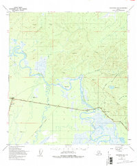
1949 Map of Tanacross B-4
USGS Topo · Published 1995About this map
Tok and Tetlin Junction anchor this interior Alaskan landscape, documented shortly after the Second World War. The area is dominated by the massive Tanana River, which winds through a complex system of wetlands and lowlands identified as Tract A and Tract B. High-elevation survey markers like VABM Summit and VABM Tok delineate the surrounding highlands, while the Alaska Highway and the Taylor Highway provide the primary terrestrial arteries for travel and transport.
Find a feature on this map
25 named features on this map. Tap any name to fly to it.
Don’t see what you’re looking for? This feature index may not catch every label — zoom into the map to look around manually.
Map Details
Editions of this 1949 Tanacross B-4 Map
3 editions found
Other maps of this area

1948 · Tanacross B-5
USGS Topo · 1:63,360

1948 · Tanacross A-3
USGS Topo · 1:63,360

1948 · Tanacross A-4
USGS Topo · 1:63,360

1948 · Tanacross A-5
USGS Topo · 1:63,360

1948 · Tanacross B-3
USGS Topo · 1:63,360

1949 · Tanacross
USGS Topo · 1:250,000

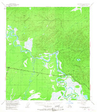
1949 · Tanacross B-4
USGS Topo · 1:63,360

1949 · Tanacross A-5
USGS Topo · 1:63,360

1949 · Tanacross B-3
USGS Topo · 1:63,360

1950 · Tanacross
USGS Topo · 1:250,000