
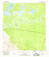
1948 Map of Tanacross B-5
USGS Topo · Published 1964About this map
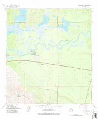
The Tanana River winds through this subarctic landscape, carving a complex network of braids and side channels like the Little Tanana Slough as it flows north of the Alaska Range. In the late 1940s, the settlement of Tanacross stood as a key waypoint near the Tanacross Airfield, where the Alaska Highway runs parallel to a critical Pipeline. To the north, Mansfield sits near the shores of Lake Mansfield, surrounded by numerous smaller bodies of water such as Wolf Lake and Glaman Lake. The terrain transitions from the low-lying river basin to the high elevations of Mount Neuberger in the southwest. Historical transport routes are clearly marked, including the historic Eagle Trail and a Pumping Sta located along the highway, illustrating the mid-century infrastructure supporting this interior region.
Find a feature on this map
18 named features on this map. Tap any name to fly to it.
Don’t see what you’re looking for? This feature index may not catch every label — zoom into the map to look around manually.
Map Details
Editions of this 1948 Tanacross B-5 Map
3 editions found
Other maps of this area

1948 · Tanacross A-6
USGS Topo · 1:63,360

1948 · Tanacross A-4
USGS Topo · 1:63,360

1948 · Tanacross A-5
USGS Topo · 1:63,360

1949 · Tanacross
USGS Topo · 1:250,000

1949 · Tanacross B-4
USGS Topo · 1:63,360

1949 · Tanacross A-5
USGS Topo · 1:63,360

1949 · Tanacross B-6
USGS Topo · 1:63,360

1950 · Tanacross
USGS Topo · 1:250,000

1951 · Tanacross B-6
USGS Topo · 1:63,360

1951 · Tanacross B-4
USGS Topo · 1:63,360