
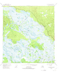
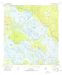
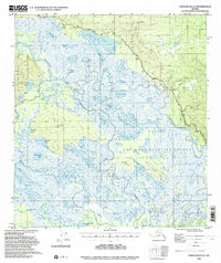
1948 Map of Tanacross A-3
USGS Topo · Published 1965About this map
The Tanana River and its vast network of wetlands define this subarctic interior landscape, where early transportation relied heavily on seasonal routes. A Sled Road and Winter Trail bypass the treacherous summer marshes, while a Pipeline and the Alaska Highway mark the post-war modernization of the corridor. Local geography is heavily influenced by the Tetlin Reservation Boundary, which encompasses numerous named water bodies like Nuziamundcho Lake and Chindagmund Lake. Landmarks such as Riverside Lodge and a remote Landing Strip indicate the points of contact for travelers and bush pilots. Terrain features like Titus Paul Hill and Big John Hill provide the few points of high ground amidst the labyrinthine waterways of the Tetlin River drainage.
Find a feature on this map
43 named features on this map. Tap any name to fly to it.
Don’t see what you’re looking for? This feature index may not catch every label — zoom into the map to look around manually.
Map Details
Editions of this 1948 Tanacross A-3 Map
4 editions found
Other maps of this area

1948 · Tanacross A-4
USGS Topo · 1:63,360

1948 · Tanacross B-3
USGS Topo · 1:63,360

1949 · Tanacross
USGS Topo · 1:250,000

1949 · Tanacross B-4
USGS Topo · 1:63,360

1949 · Tanacross B-3
USGS Topo · 1:63,360

1950 · Tanacross
USGS Topo · 1:250,000

1950 · Nabesna
USGS Topo · 1:250,000

1951 · Nabesna
USGS Topo · 1:250,000

1951 · Tanacross B-4
USGS Topo · 1:63,360

1952 · Tanacross A-4
USGS Topo · 1:63,360