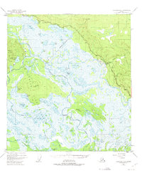
1948 Map of Tanacross A-3
USGS Topo · Published 1975About this map
The Tetlin Indian Reservation Boundary defines much of this interior Alaskan landscape, characterized by an intricate network of wetlands and water bodies where the Kalutna River and Tetlin River meet the Tanana River. Mapping based on 1948 photography reveals a region of seasonal transition, where high ground like Chisana Mountain and Titus Paul Hill overlooks an expansive system of lakes, including Midway Lake, Tlocogn Lake, and Nuziamundcho Lake.
Find a feature on this map
38 named features on this map. Tap any name to fly to it.
Don’t see what you’re looking for? This feature index may not catch every label — zoom into the map to look around manually.
Map Details
Editions of this 1948 Tanacross A-3 Map
4 editions found
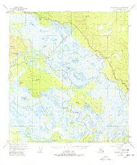
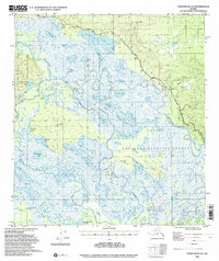
Other maps of this area

1948 · Tanacross A-3
USGS Topo · 1:63,360

1948 · Tanacross A-4
USGS Topo · 1:63,360

1948 · Tanacross B-3
USGS Topo · 1:63,360

1949 · Tanacross
USGS Topo · 1:250,000

1949 · Tanacross B-4
USGS Topo · 1:63,360

1949 · Tanacross B-3
USGS Topo · 1:63,360

1950 · Tanacross
USGS Topo · 1:250,000

1950 · Nabesna
USGS Topo · 1:250,000

1951 · Nabesna
USGS Topo · 1:250,000

1951 · Tanacross B-4
USGS Topo · 1:63,360