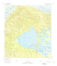
1948 Map of Tanacross A-4
USGS Topo · Published 1975About this map
The Tetlin Indian Reservation landscape is defined by the massive expanse of Tetlin Lake and the intricate wetlands surrounding the Kalutna River. This 1948 survey shows the settlement of Tetlin situated between Sun Lake and Skate Lake, complete with a local Cem and a nearby Fish and Wildlife Camp. To the south, the village of Last Tetlin Village sits near the base of Last Tetlin Hill, connected to the broader water system via Tonsol Lake and Fish Lake.
Find a feature on this map
27 named features on this map. Tap any name to fly to it.
Don’t see what you’re looking for? This feature index may not catch every label — zoom into the map to look around manually.
Map Details
Editions of this 1948 Tanacross A-4 Map
3 editions found
Other maps of this area

1948 · Tanacross B-5
USGS Topo · 1:63,360

1948 · Tanacross A-3
USGS Topo · 1:63,360

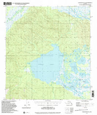
1948 · Tanacross A-4
USGS Topo · 1:63,360

1948 · Nabesna D-5
USGS Topo · 1:63,360

1948 · Tanacross A-5
USGS Topo · 1:63,360

1948 · Tanacross B-3
USGS Topo · 1:63,360

1949 · Tanacross
USGS Topo · 1:250,000

1949 · Tanacross B-4
USGS Topo · 1:63,360

1949 · Tanacross A-5
USGS Topo · 1:63,360

1949 · Tanacross B-3
USGS Topo · 1:63,360