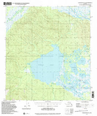
1948 Map of Tanacross A-4
USGS Topo · Published 2000About this map
The massive expanse of Tetlin Lake dominates this 1948 landscape, serving as a central hub for a complex network of wetlands and river systems. To the north, the Tanana River and Tok River wind through low-lying flats, while the Tetlin Hills rise to provide topographic relief. The settlement of Tetlin is located near the eastern shore of the lake, featuring a Cem and a Landing Strip that suggests the importance of bush aviation in this interior Alaskan region.
Find a feature on this map
30 named features on this map. Tap any name to fly to it.
Don’t see what you’re looking for? This feature index may not catch every label — zoom into the map to look around manually.
Map Details
Editions of this 1948 Tanacross A-4 Map
3 editions found
Other maps of this area

1948 · Tanacross B-5
USGS Topo · 1:63,360

1948 · Tanacross A-3
USGS Topo · 1:63,360

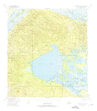
1948 · Tanacross A-4
USGS Topo · 1:63,360

1948 · Nabesna D-5
USGS Topo · 1:63,360

1948 · Tanacross A-5
USGS Topo · 1:63,360

1948 · Tanacross B-3
USGS Topo · 1:63,360

1949 · Tanacross
USGS Topo · 1:250,000

1949 · Tanacross B-4
USGS Topo · 1:63,360

1949 · Tanacross A-5
USGS Topo · 1:63,360

1949 · Tanacross B-3
USGS Topo · 1:63,360