
1948 Map of Nabesna C-6
USGS Topo · Published 1965About this map
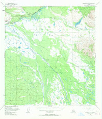
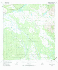
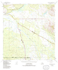
Slana and the surrounding wilderness of the Mentasta Mountains appear here as documented in a 1948 survey, just as the region's transport network was solidifying around the Glenn Highway. This interior landscape is defined by the massive confluence of the Slana River and the Copper River, where the Nabesna Road branches off toward the east. A small cluster of human activity is visible near the junction, including Duffys Tavern, a Landing Strip, and a Highway Maintenance Camp.
Find a feature on this map
24 named features on this map. Tap any name to fly to it.
Don’t see what you’re looking for? This feature index may not catch every label — zoom into the map to look around manually.
Map Details
Editions of this 1948 Nabesna C-6 Map
4 editions found
Other maps of this area

1948 · Nabesna D-5
USGS Topo · 1:63,360

1949 · Nabesna D-6
USGS Topo · 1:63,360

1949 · Gulkana C-1
USGS Topo · 1:63,360

1950 · Nabesna
USGS Topo · 1:250,000

1950 · Nabesna D-5
USGS Topo · 1:63,360

1951 · Gulkana
USGS Topo · 1:250,000

1951 · Nabesna
USGS Topo · 1:250,000

1952 · Nabesna C-6
USGS Topo · 1:63,360

1952 · Nabesna D-5
USGS Topo · 1:63,360

1952 · Nabesna D-6
USGS Topo · 1:63,360